| Dansk English |
The Danish Coastal Authority, data access
Kystatlas.dk is a WebGis solution which is used to display a whole host of data delivered by the Danish Coastal Authority.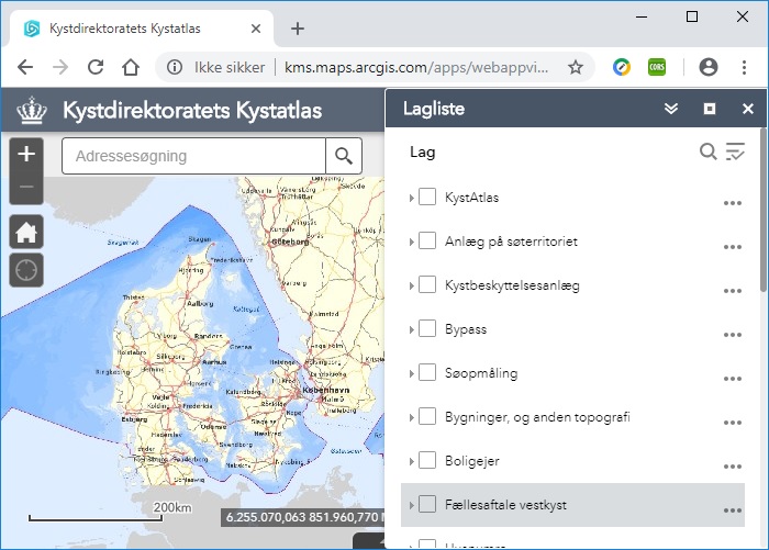
The data can also be downloaded and displayed in your own GIS programs using REST/WMS/WFS services. Links to these services are available on the individual metadata pages.
Anlćg pĺ sřterritoriet (Territorial sea structures): metadata
Bypass (Sediment): metadata
Kystbeskyttelsesanlćg (Coastal protection structures): metadata
Kystatlas (erosion, coastal types, sediment transport direction, waves etc.): metadata
Additional datasets from Teh Danish Coastal Authority are available from geodata-info.dk. Search for 'Kystdirektoratet' to access the datasets. The metadata database will provide links to data and available download options.